Practical training designed for diploma and engineering graduates. Learn GIS, Remote Sensing, UAV Mapping, and Spatial AI with real projects and career support.
1-Month Certificate

3-Month Professional Track

6-Month Career Program
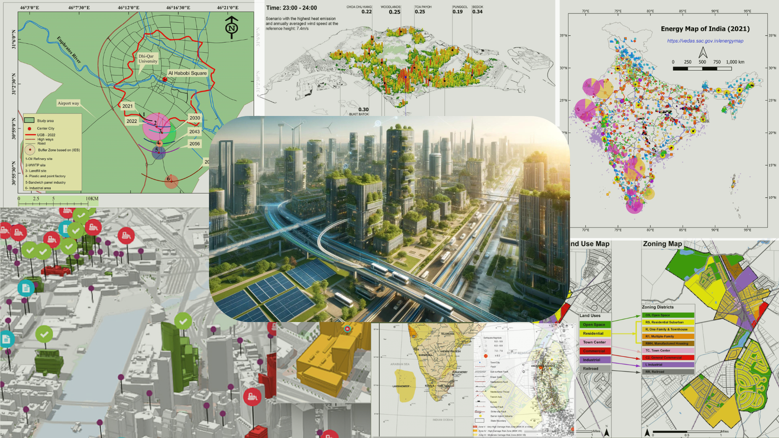
Geospatial technology is becoming critical across sectors including urban planning, infrastructure, agriculture, climate studies, and smart governance. Organizations are actively looking for professionals who can work with spatial data, automation, and analytics.
This is one of the fastest growing technical domains in the coming decade.

Up Spatial Academy is a career-focused training initiative designed to bridge the gap between academic knowledge and industry requirements in geospatial technology.
We prepare students and young professionals with practical skills in GIS, Remote Sensing, UAV mapping, and spatial analytics to help them build strong careers in this rapidly growing field.
Talk to our advisors and discover the right learning path based on your background and career goals.
Geospatial technology powers smart cities, infrastructure, environment monitoring,
logistics, agriculture, and national planning.